


Desktop Applications
Custom enterprise desktop software for data management, reporting, and specialized business workflows.
Explore service →We engineer production geospatial systems and software for organizations globally — from national environmental dashboards and wilderness navigation to pastoral care apps, security ops, and enterprise Web GIS.

Find the right service, build a quote, submit your project scope, or track an existing request — no waiting required.
Answer a few questions and get matched to the right Flotech services.
Start matcherPick services, adjust quantities, and get an instant estimate or formal quote.
Open builderSubmit scope, timeline, budget, and optional files for a tailored proposal.
Submit intakeLook up status using the reference from your quotation or confirmation email.
Track statusInstall our free plugins and toolboxes today — or request a custom build for your workflow.
Real systems in the field — environmental monitoring, wildlife counts, pastoral care, security ops, and wilderness navigation.
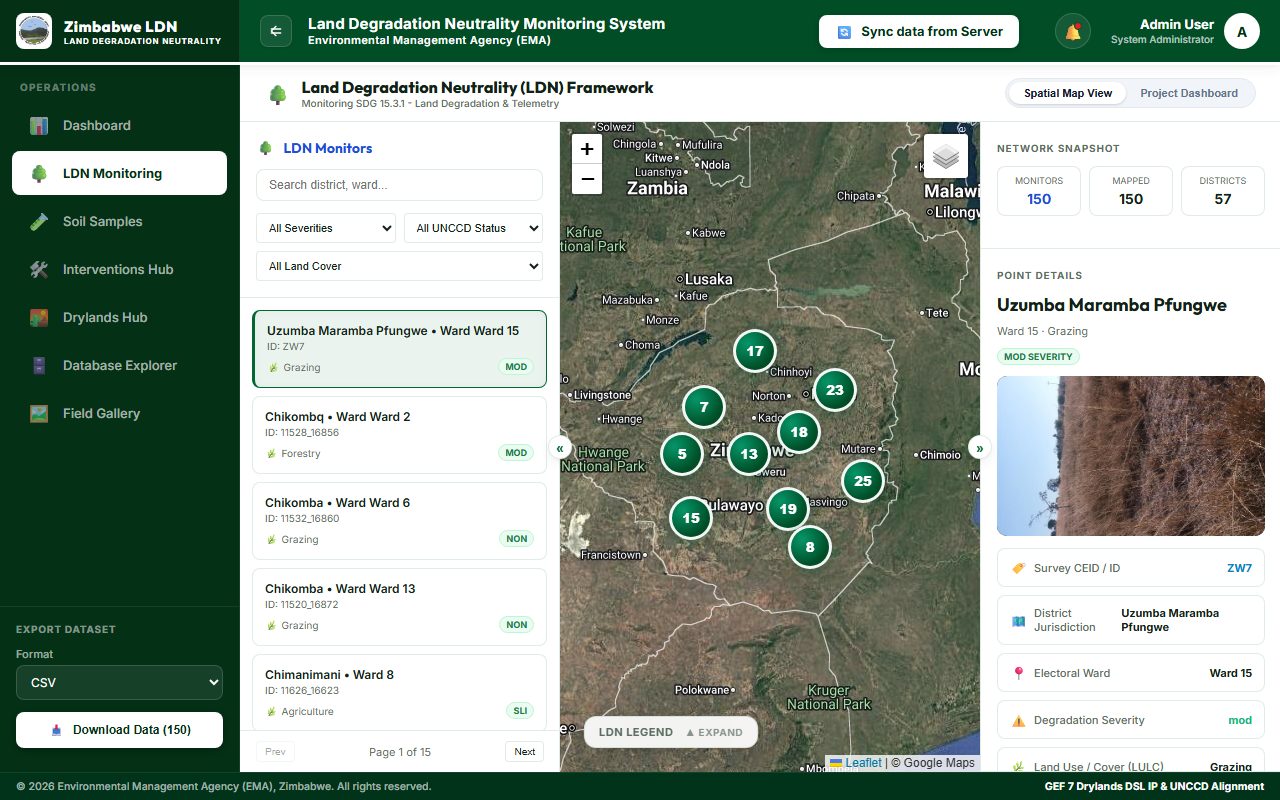
Land degradation neutrality monitoring for Environmental Management Agency.
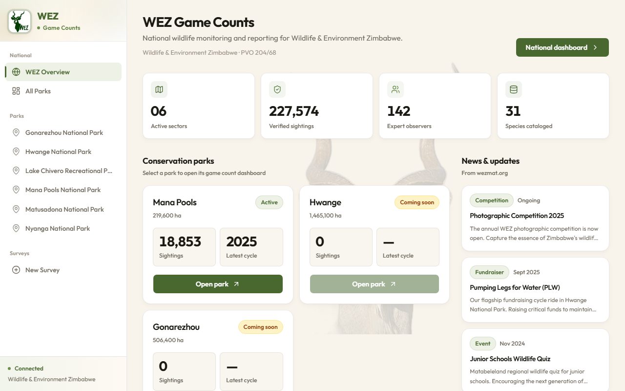
National wildlife monitoring across conservation parks and protected areas.
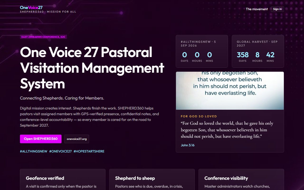
GPS-verified pastoral visitation management system.
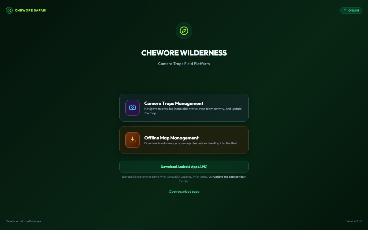
Remote safari wilderness navigation and mapping.
From custom software development to advanced geospatial platforms — we build intelligent digital solutions for data-driven decision making.
Custom enterprise desktop software for data management, reporting, and specialized business workflows.
Explore service →Modern, responsive web portals, dashboards, and enterprise systems built for scale.
Explore service →Android and iOS apps for field data collection, GPS-enabled solutions, and offline-first workflows.
Explore service →Interactive web maps, geoportals, spatial dashboards, and real-time mapping systems.
Explore service →SDI frameworks, geoportals, metadata catalogues, and open data platforms.
Explore service →Custom QGIS plugins for spatial analysis, data automation, and workflow optimization.
Download plugins →We combine software development expertise with specialized GIS knowledge to deliver real-world solutions.
Every project is tailored to your specific requirements — no one-size-fits-all approach.
Dual specialization in software development and geospatial technology under one roof.
Built with scalable, open-source, and industry-standard tools for long-term reliability.
Solutions designed around real workflows, ensuring adoption and measurable impact.
Active deployment network across Africa — including Zimbabwe and Nigeria — plus Eurasia and global client regions.
Contact us today to discuss your project and let's build the right solution together.
Request a SolutionFrom open-source GIS stacks to enterprise platforms — we build with the tools your projects need.