Insights
Featured Project Write-Ups
Deep dives into live deployments — challenges, architecture, and outcomes you can explore on the web today.
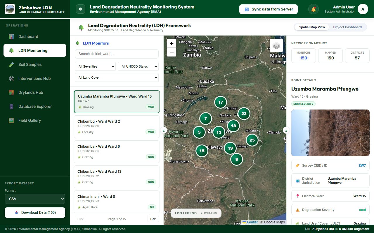
LDN: Environmental Intelligence for EMA
Land Degradation Neutrality monitoring — soil samples, drylands hub, intervention tracking, and UNCCD-aligned reporting.
Read case study →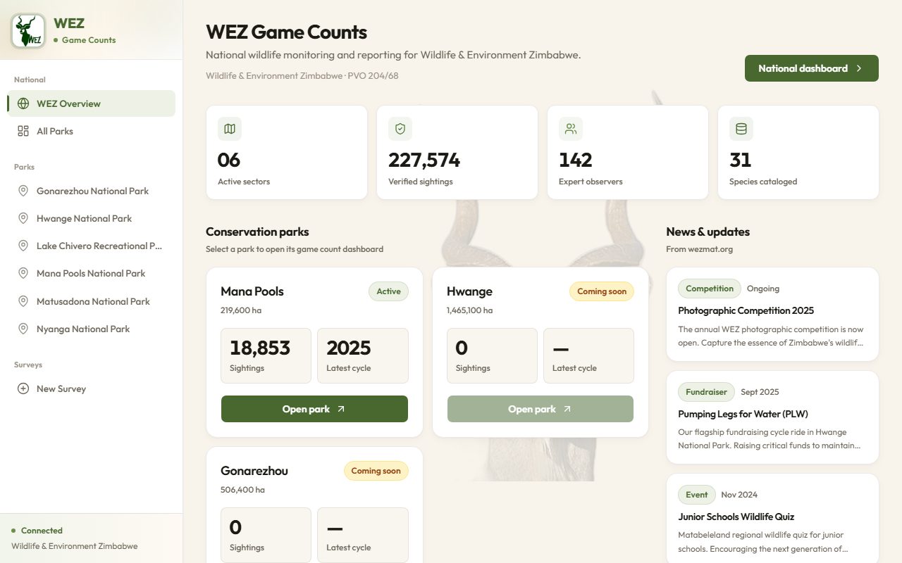
WEZ Game Counts: National Wildlife Monitoring
Sector dashboards, verified sightings, and species catalogues for national conservation park networks.
Read case study →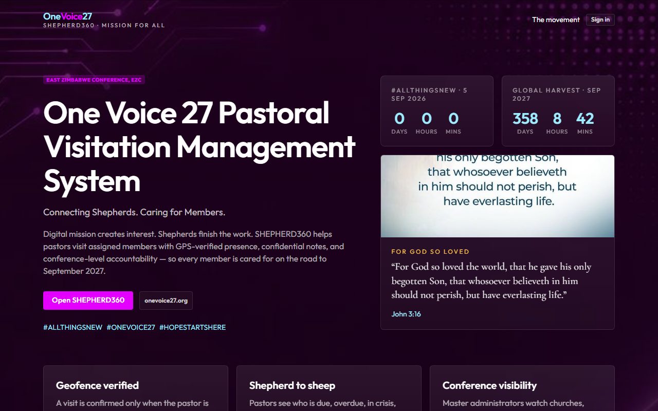
SHEPHERD360: GPS-Verified Pastoral Visitation
One Voice 27 platform — geofence-verified home visits and conference accountability.
Read case study →